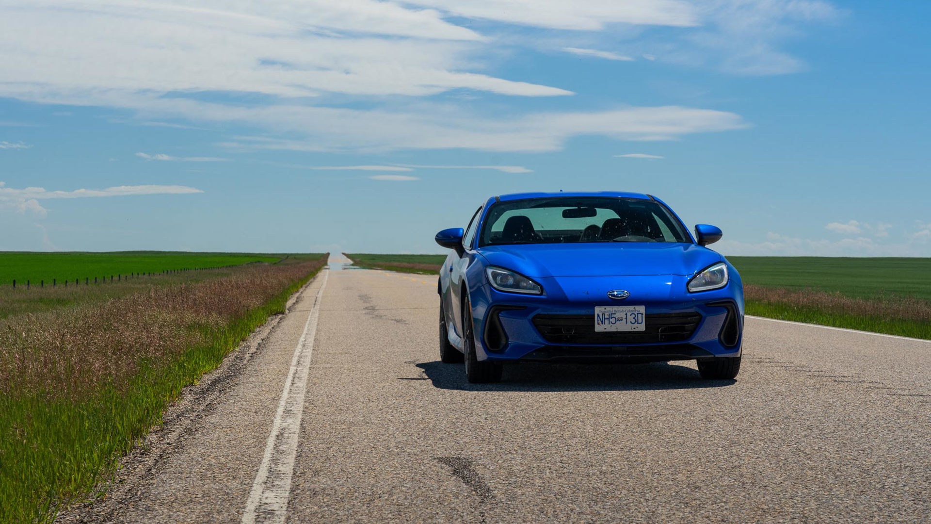
At first, everything seemed normal. I’d woken up a bit before the kids in a motel in Golden, B.C., and out of a habit I should probably break, had rolled over, grabbed my phone, and checked emails. Not the sort of thing you’re supposed to do on vacation, but the freelancer life doesn’t have much of an off button. The phone, hooked into the motel’s Wi-Fi, said there was nothing urgent to worry about. Weird, though – the Wi-Fi was working, but there was no cell signal.
Golden is a mountain town, sandwiched between the Selkirk and Purcell ranges and the Rocky Mountains themselves. Travelling through the Kootenays is always hit and miss for cell service. Did we have signal coming into town yesterday? I forget. Besides which, we have a long drive ahead of us today, and these kids need to be fed. I roused them, crammed them full of toaster waffles and scrambled eggs, and we hit the road. By the time we passed through Banff, I knew something was wrong.
On July 8 of this year, Canadians all across the country woke up to find that their cellphones were also without connection. The Rogers outage caused all kinds of problems, disrupting businesses, making ordinary tasks harder, removing a key piece of technology we’ve all come to rely upon.
When I pulled in at a tourism centre in Canmore, Alberta, people were wandering around like zombies. The centre had Wi-Fi, so I logged on and fired a quick email to let the grandparents know all was well. Fellow travellers kept coming up to me. “Do you have a signal?” they’d ask, tapping at their silent phones, cut off for the first time in who knows how long.
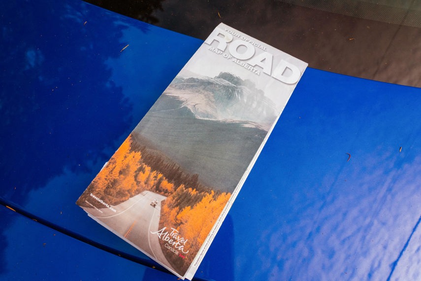
Out front of the tourism place was a big box full of maps supplied by Travel Alberta. I excitedly summoned the kids over from where they were coltishly jumping around on the grass, stretching their legs. This outage wasn’t going to throw a wrench in our road trip plans. It was going to be an opportunity.

Probably the oldest road map of this part of western Canada dates back exactly 100 years. In 1922, the Automobile Roads Association of Western Canada published the “Official Map of the Blazed Trails of Alberta,” showing a network extending to major routes to the west and south of the province. The idea behind the map was pretty simple: well-heeled American tourists were already flocking to Glacier National Park, and the hoteliers, outdoor outfitters, and restaurateurs of Alberta were eager to drum up trade. What better way than to give those tourists clear directions?
Unfolding this more modern map of Alberta to its full spread brought a host of memories flooding back. It’s only been 15 years since the first iPhone arrived, but using a paper map for reference seems like an ancient lost art. Do you remember the last time you needed to use one? These days, you just plot out your route on Google Maps or your car’s satellite navigation, hit “Go” and blindly follow directions until you get to your destination.
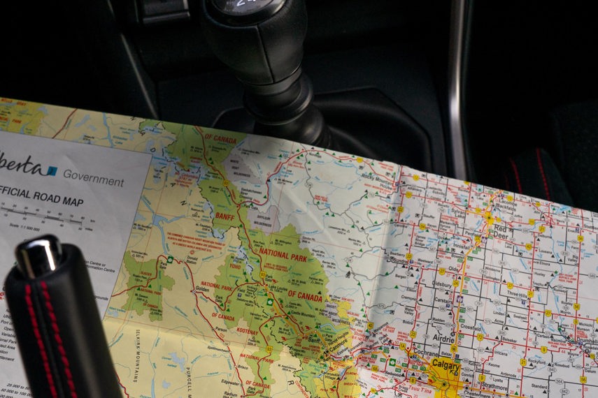
Now, thanks to a paralyzed cellular network, we’d have to do things the old way. Together, we bowed our heads over the map. Can you find where we are? OK, now trace your finger across here, past the fold and down. That’s where we’re headed. Ready to give directions?
Back in the car, the squabbling started immediately. What kind of rookie parenting mistake was this? You can’t crown one kid Keeper of the Map without setting up for an in-car civil war. We had a brief lecture on the concept of sharing, worked out a map-swap timeline, and I started calling out the road signs.
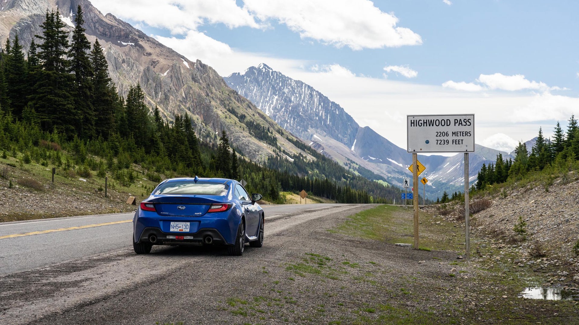
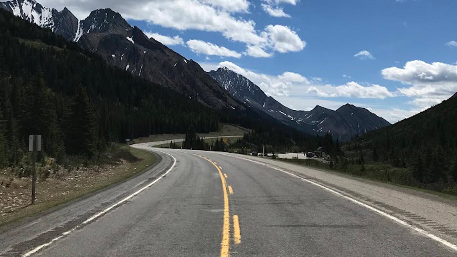
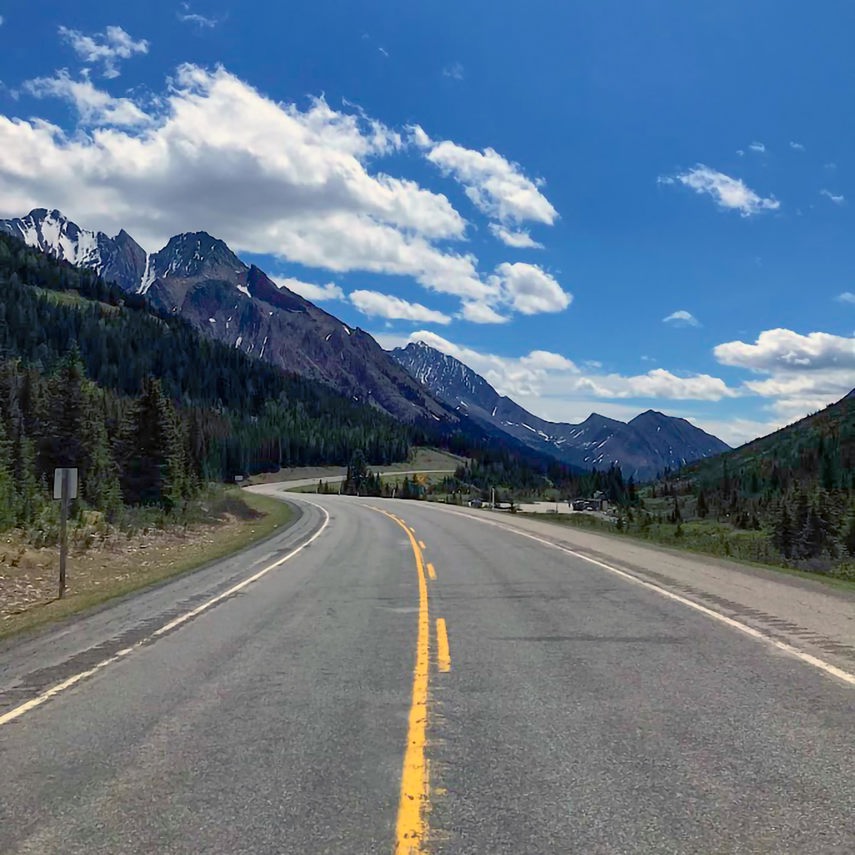
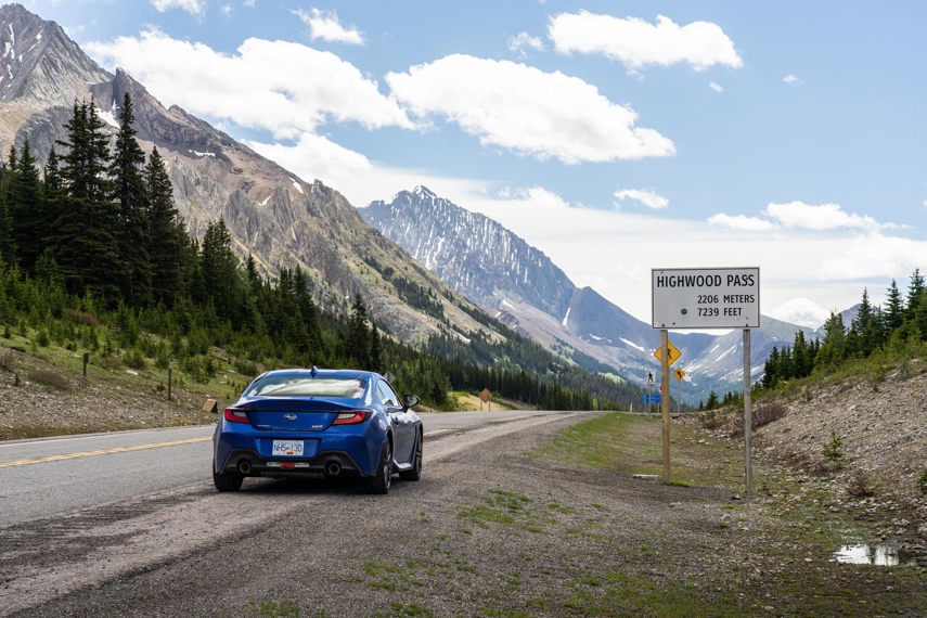
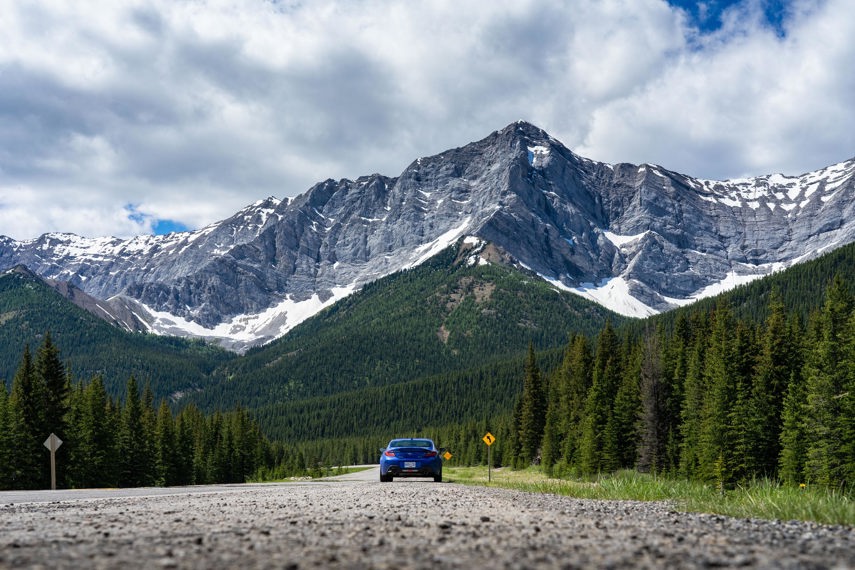
If we’d been heading straight into Calgary, we would, of course, have not really needed a map – west to east along the Trans-Canada isn’t like figuring out U.S. Interstates. However, the plan was to break south along highway 40 into Kananaskis country, crossing through the Highwood pass, the highest paved road in Canada.
The older of my two daughters discovered the tiny distance markers written between towns. We counted off the kilometres to the exit, then swung through a Tim Horton’s drive through for some essential Canadian road trip fuel: Timbits.
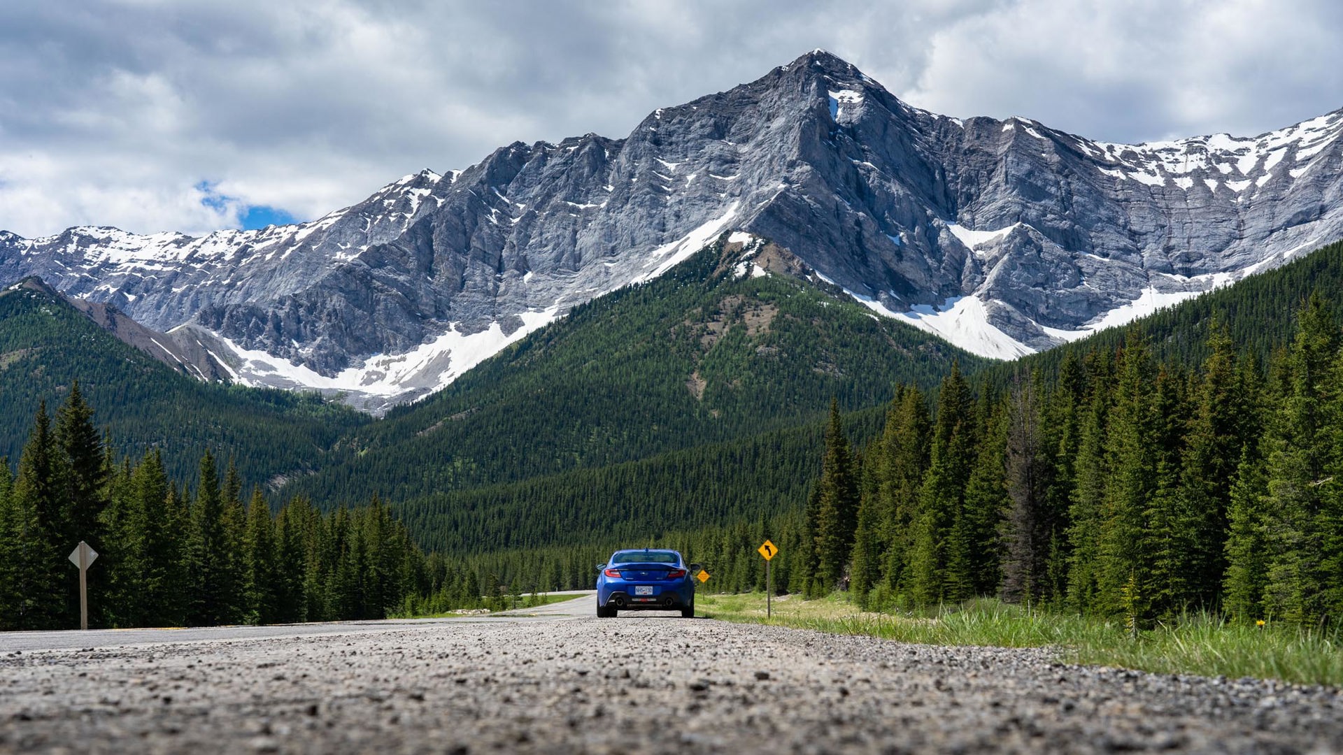
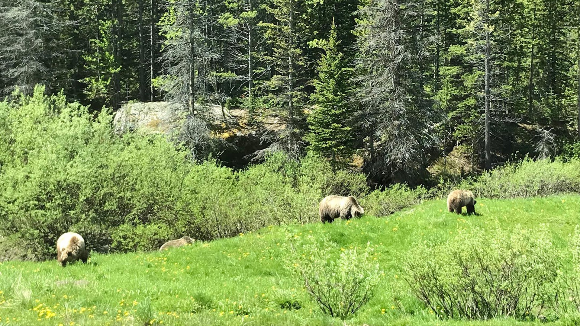
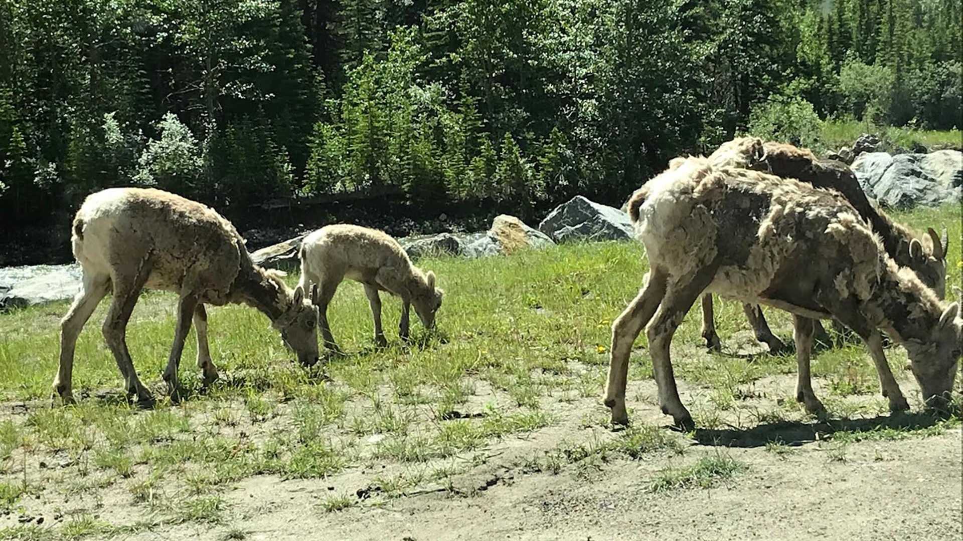
The Kananaskis tourist office supplied a more detailed map of the pass and now we had two Keepers of the Maps. My younger daughter didn’t quite grasp the complexity of the proper road map, but with this more colourful version, she was able to follow along with the various stops and trailheads as we made our way through the park. Wildlife was everywhere: We saw six grizzlies and countless rocky mountain sheep. As we moved through the terrain, she shouted out the next stops.
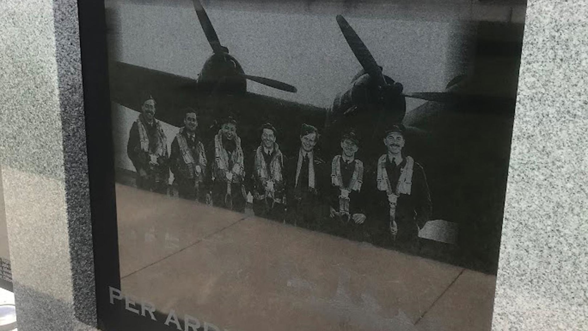
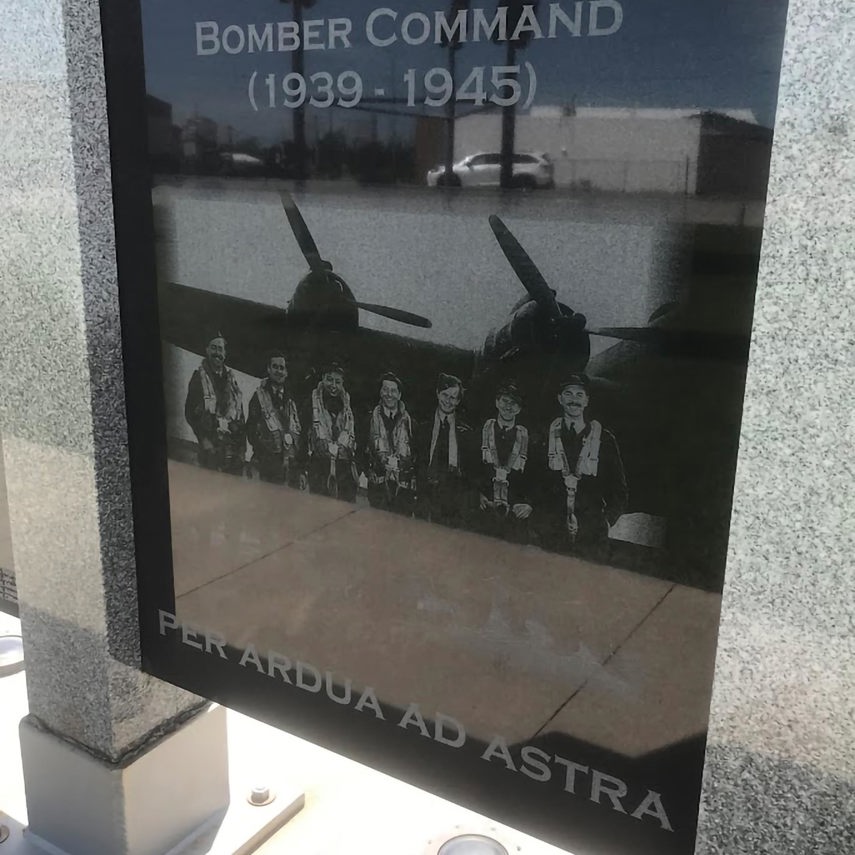
On the other side of the pass, Alberta’s plains rolled out like a real-life Microsoft screen saver. Rogers was still down – it would be out the entire day, as it would turn out – so we found a park and flattened the map out on a picnic table. The park happened to be near the Canadian Bomber Command memorial, so another opportunity to talk about old-timey things beckoned. I told the kids about the navigators who flew on these planes, charting their course through night skies with compass and map in cramped and dimly lit cabins.
Curious quirk: There’s a picture of a flight crew on the memorial itself. The captain is a dashing fellow, cocky and confident with his pistol in his hand. One Robert Clothier, DFC. You might know him better as Relic from the Beachcombers.
Alberta’s rural routes run arrow-straight but broken up, so my older daughter and I plot out a route to the next town. The kids have rumbling tummies, but there’s not much around here for lunch. How far is it? Add up the distances. How long will that take us if we’re going the posted 100 km/h? Nobody likes summertime homework, but the kids don’t seem to see it like that. It’s a puzzle.
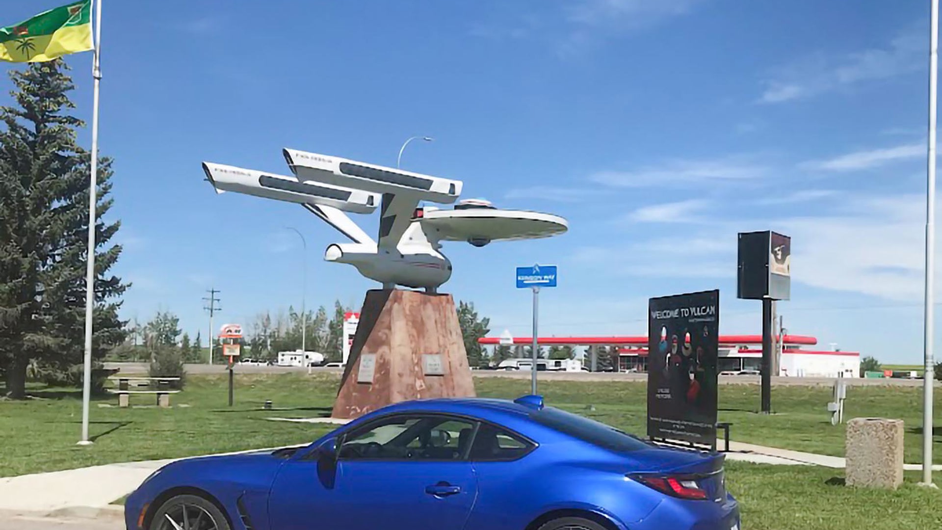
We roll into Vulcan for lunch at the A&W, stopping first to check out the Star Trek memorabilia, and gazing upward in surprise at the USS Enterprise-themed streetlights. The stopover wasn’t far out of our way, but it’s the kind of thing a GPS would have happily ignored. When you’ve got paper in front of you, you see more and stop more. You never know what you’ll find.
The next leg takes us north. Tomorrow’s goal is the Royal Tyrrell Museum in Drumheller, and cellphone technology will be back in action to guide us to the age of dinosaurs. First we have to weave around the outskirts of Calgary, up to a small town called Three Hills.
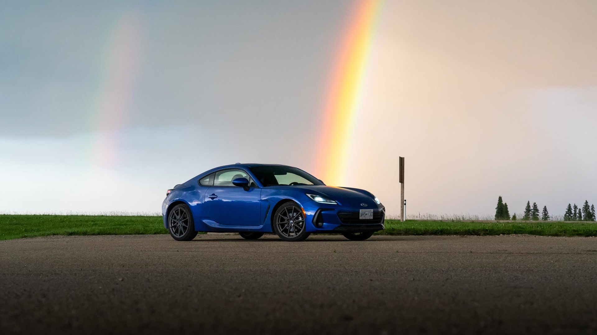
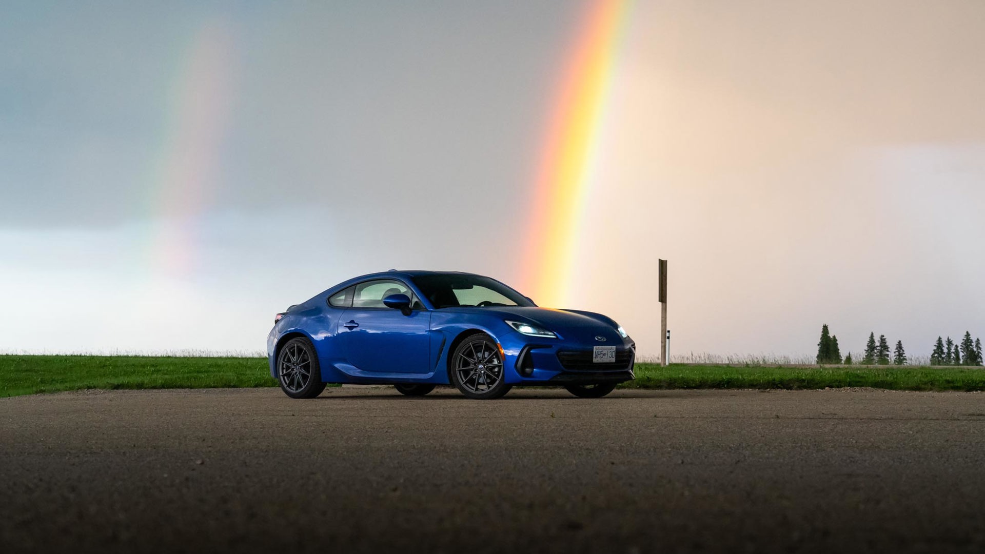
There’s a storm rolling across the prairies, the rain throwing a double rainbow in the evening light. A doe and her fawn explode from a ditch, running across the road far ahead. We arrive at tonight’s motel in time for swimming, and the kids try to fold up the maps in the back seat. It’s like a couple of cats attacking tissue paper. When it comes to maps, there’s an art to the fold.
Later, as the room grows quiet, little heads on pillows and stuffed animals tucked under arms, I’m in a thoughtful mood. A drawer full of maps was always a part of my childhood home. My parents still have most of them. But my kids have grown up with dad pulling out his pocket computer whenever the questions are asked, “Where is that?” or “How do we get to there?”
You want to be careful how much nostalgia you indulge in, as the Rogers outage was a class-A pain for most people. Getting slightly lost is fun on a road trip, but it’s much less fun when you’re just trying to get through the week. Technology has handed us all kinds of new societal problems, but in terms of route-finding, it’s mostly been a universal boon.

As I carefully fold up the map we used today, tucking it away as a fragment of a memorable trip, I can’t help but make myself a silent promise. I woke up on this day, and the first thing I did was to reach for my phone. It’s an incredible piece of technology, giving me access to more information than I could possibly digest. But everything I actually needed to know was written on a folded piece of paper. A severed connection to technology just helped me connect more meaningfully with my kids, and it’s a lesson that shouldn’t have taken a national outage to learn. All we needed was a paper map, and each other.
